|
1:250K Shaded relief topo
maps
Current status
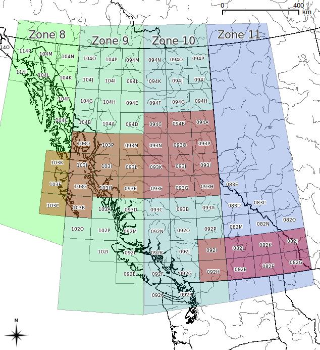
map status: dark
squares = completed
All zip files include the
geotiff image and an OziExplorer .MAP file. Each file is
> 60 MB
Maps are without collars.
Collared version are available but it doubles the file
size without giving you any more map.
If you have requests for
which maps are to be produced next, please email me at
morgan 'at' hesperus-wild.org
|
|
|
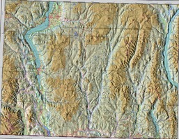
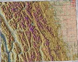
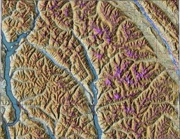
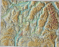
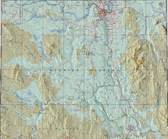
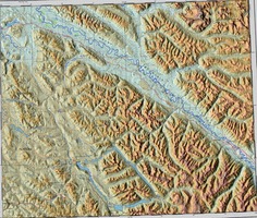
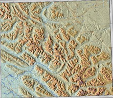
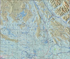
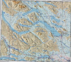
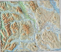
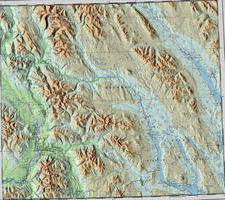
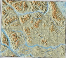
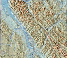
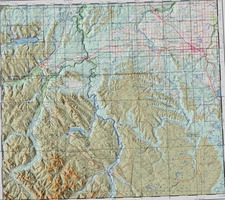
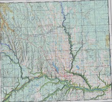
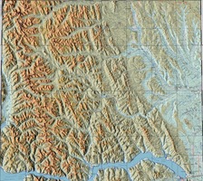
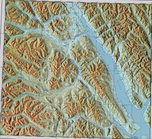
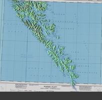
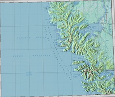
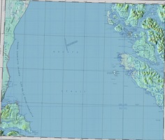
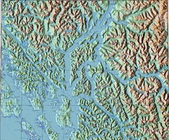
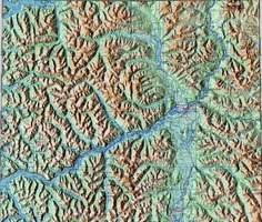
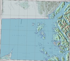
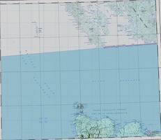
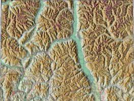
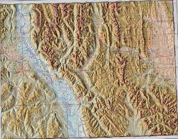
thumbnail image
|
|
|
|
|
|
|
|
|
|
|
|
|
|
|
|
|
|
|
|
|
|
|
|
|
|
|
|
|
|
|
|
|
|
|
|
|
|
|
|
|
|
|
|
|
|
|
|
|
|
|
|
|
|
|
|
|
|
|
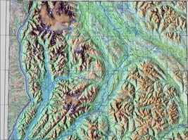
093P
|
|
|
|
|
|
|
|
|
|
|
|
|
|
|
|
|
|
|
|
|
|
|
|
|
|
|
|
|
|
|
|
|
|
|
| |
|
Pre-mosaicked combinations
|
Mapsheets
|
HaidaGwaii
|
103B, 103C, 103F, 103G, 103J, 103K
**This mosaic spans two UTM Zones. It
is registered in Zone 9**
|
| Sandspit |
103B, 103C, 103F, 103G
**This mosaic spans two UTM Zones. It
is registered in Zone 8**
|
| Vanderhoof |
093F, 093G, 093J, 093K |
| Kelowna |
082E, 082L, 092H, 092I
**This mosaic spans two UTM Zones. It
is registered in Zone 11**
|
Moricetown
|
093L, 093M |
| Topley |
093K, 093L
**This mosaic spans two UTM Zones. It
is registered in Zone 9**
|
| Takla
Lake |
093K, 093N |
| Kitwanga |
093LK, 093M, 103I, 103P |
Note that some mosaics may be too
large to read into OziExplorer
|