 |
|
Mapping
for Is This Your First War?
|
|
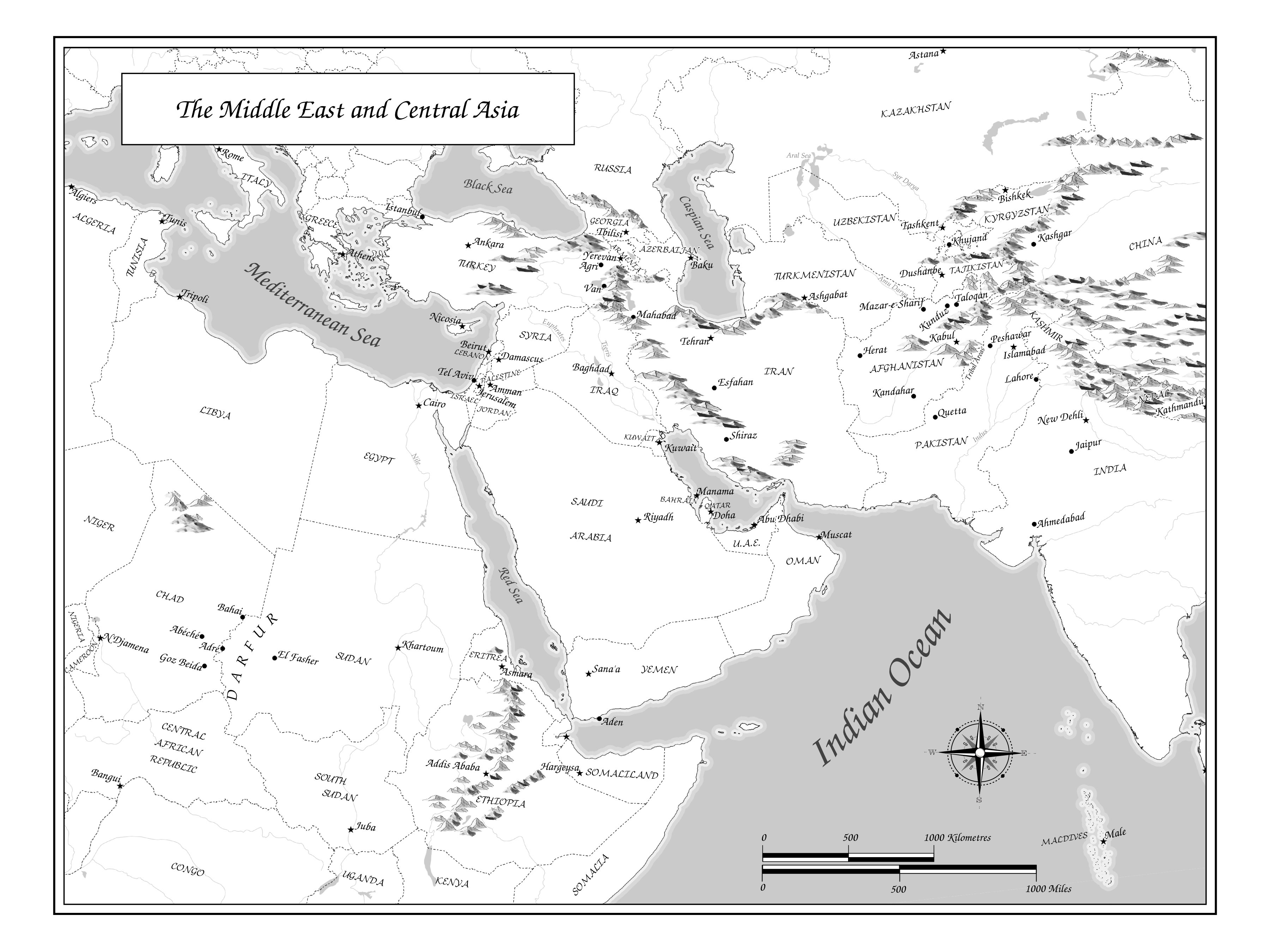
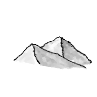
(click image to see full size) For his book Is This Your First War? Maclean's correspondent Michael Petrou needed a map of all the places he had visited in Central Asia. The map had to be greyscale, and we thought it should be framed to fit in a two-page spread of a book whose pages were 9" high and 6" wide. I had the enjoayable task of reading the manuscript, compiling a list of places mentioned, and then drafting the map. Michael wanted a travelogue-style map, so I put in some coastal vignetting, used a decorative font for placenames (URW Chancery L) and put in little hand-drawn mountains. The basemap was composed in QGIS, and the labels, decorative frame, title, compass rose, scale bar and mountains were added in Inkscape. In order to maximize the area of interest on the map (from Chad to Kashgar) I used a Lambert Conformal Conic projection with standard parallels 15° and 40° North, with origin at 52° 30' on the Equator. ("+proj=lcc +lat_1=40 +lat_2=15 +lat_0=0 +lon_0=52.5 +x_0=0 +y_0=0 +ellps=GRS80 +towgs84=0,0,0,0,0,0,0 +units=m +no_defs" for those of you wishing to re-create it). Scale was 1:24,424,342 Most of the data for this map came from from Natural Earth. International boundaries were the 1:10m "10m_admin_0_boundary_lines_land" layer. Coastal vignettes at 20km and 45km were buffered from the 1:10m "land" layer, and displayed as white and grey (216/216/216) respectively. "Ocean" was grey 202/202/202. Lakes and rivers came from the 1:50m "lake" and "rivers-lake-centerlines-with-scale-ranks" layers. Capital cities were selected from from the 1:10m "populated_places_simple_admin-0_capitals" layer, and other towns (e.g., Kunduz, Isfahan, Istanbul) were selected from 1:10m "populated_places_simple". Three small towns in Chad I digitized in via Google Earth. The mountains came from a
selection of eight or nine different little PNG mountain images
I'd drawn in the GIMP, such
as One of the problems with the mountains was that they tended to obscure international borders. To get borders to pass over the mountains, I exported the borders from QGIS as an SVG file, and placed them on a layer above the mountains. |
 ,
and
,
and