 |
|
Barrett
Hat trail map
|
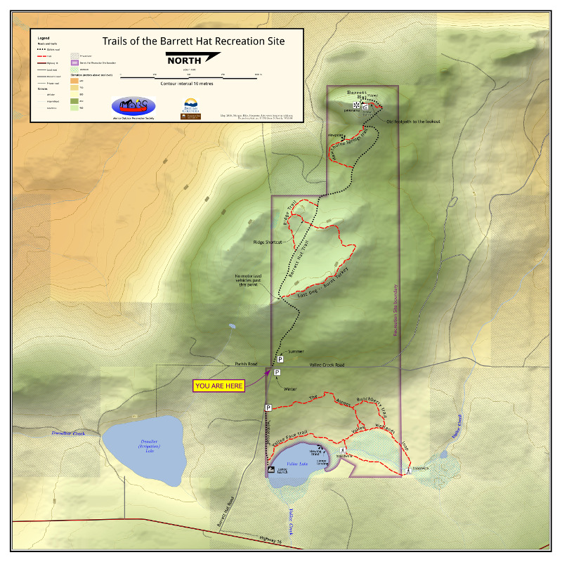 |
This will be the new trailhead map for the area around Barrett Hat, just south of Smithers, This has recently been designated a Recreation Site. By request of the managing group, the map is north-right, because you are looking west when you arrive at the parking lot. To make this work in the shaded relief, I have the sun in the West-Southwest, at 155.7° Colouring is hypsographic. The scale is quite large, 1:4500, so I took the CDED 0.75" DEM, floated it, then resampled to 1 metre cells. I generated the shaded relief using Blender. |