 |
|
Smithers
Trails Overview (2019)
|
 |
| Recreation Sites and
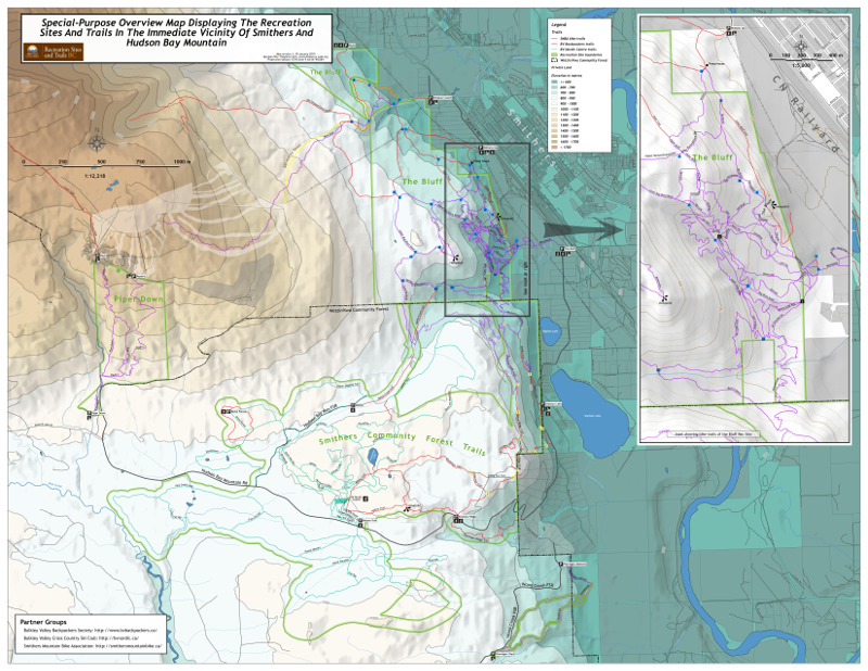
Trails BC was looking for a map that would show all of the trails
just outside Smithers that have been developed in the past twenty
years. This was a nice recap for me of all the mapping (and trail
planning) I have done in this area over two decades. In this case the map is E-sized (34" x 44") at a scale of close to 1: 12,000. I was able to use a hypsographic tint on the DEM (CDED 0.75" DEM re-sampled and re-projected to three metre cells) that pushes the lowlands back (as teal), highlights the highest elevations (as brown) but leaves the middle ground (around 900 metres, where most of the trails are) white. The topography is just a supporting feature here, so I included contour lines only every hundred metres. I made them thick and almost cartoonish (semi-transparent). |
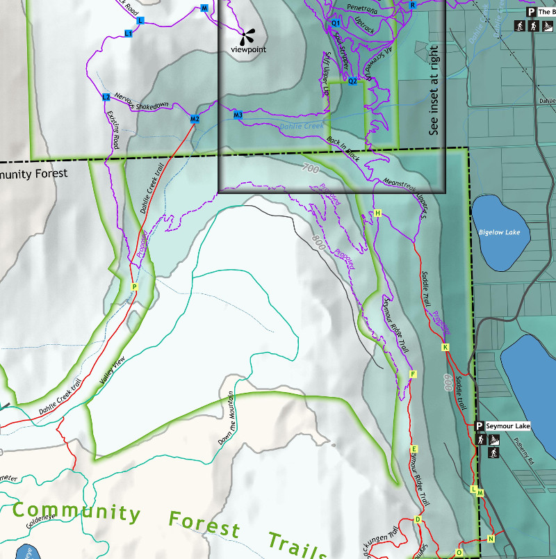 |
Since the map is to be used to plan with the "partner groups," trails are coloured according to which volunteer group maintains them, and recreation site boundaries are shown. The Wetzin'Kwa Community forest also had to be shown. Since in many places its boundary coincides with rec site boundaries, I styled it as a dash-dot line, which shows up nicely over the rec site's "shapeburst fill" line. |